 Kristaps Ungurs
A combination of drone-based remote sensing and machine learning could help researchers monitor soil health across larger areas, according to a University of Alberta study.
The study examined how fungal communities in forest soil varied across a landscape and how impactful drone data can be in predicting those patterns. Wan Wan Yu, a visiting student from China, led the research at the U of A.
Cameron Carlyle, a professor in the department of agriculture, food, and nutritional science, helped with the data analysis and manuscript.
Understanding forest soil
Carlyle said the study examined how forest tree species and environmental factors, including slope, soil type, and soil properties, were related to fungal communities in the soil.
Fungal communities can serve as indicators of soil health. Studying them across large areas, however, can be labour-intensive and expensive.
“The challenge there is that doing those types of analyses is both labour intensive and analytically expensive,” Carlyle said. “Especially if you’re trying to do it at a fairly fine scale across large areas.”
Collecting soil samples usually involves researchers manually pushing a soil core into the ground before bringing the samples back to the laboratory. These samples require careful handling to prevent cross-contamination before DNA is isolated and sequenced.
“Soils are, you know, fairly complex,” Carlyle noted.
Collecting soil data from the sky
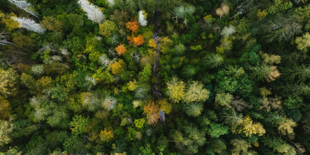
To complement the drone samples, Yu used drones to collect remote-sensing data across the research area.
These drones recorded different wavelengths of light reflected from the landscape. These measurements are then used to compute vegetation indices that provide valuable information.
“You can get information about vegetation health, growth, productivity, chlorophyll, and things like that,” Carlyle noted.
He added that the data can capture differences between vegetation types and provide information about how healthy the vegetation is.
Carlyle said that the advantages of using drones is that it can provide continuous information across an area, while soil sampling produces information only from individual points.
“The drone data is essentially continuous,” Carlyle said. “And so, that point data can be translated, extrapolated into a full spatial area.”
“It really showed that the machine learning approach was fairly robust and reliable,” Carlyle says
The researchers then used a random forest machine-learning approach to analyze the data collected from the soil and drones.
Carlyle said machine learning was useful because it could handle complex datasets containing multiple response and predictor variables. It also helped to identify the parameters that were important in affecting the fungal communities.
“I think what came out of this was that it really showed that the machine learning approach was fairly robust and reliable in helping to make predictions about the fungal communities,” Carlyle recalled. “Maybe more than we might have expected.”
Carlyle mentioned that one of the strengths of this approach was that it could help researchers expand beyond the limited number of soil sample collection points and understand patterns across a broader landscape.
Technology can compliment, not replace, researchers work
Traditional soil sampling remains important, especially when researchers require detailed information from a specific location. Carlyle believes the technology does not eliminate the need for researchers to collect soil samples.
“On the research side, as long as we have research questions, people still need to get out there and get our boots dirty and collect those samples,” he added.
Machine learning requires researchers to learn how to incorporate the methods into their work and interpret the results. Drones also present practical challenges, including the training required to operate them and restrictions caused by weather conditions.
“One of the real challenges is just making these types of measurements across large spatial scales,” Carlyle said. “They’re expensive and are intensive to actually do and collect.”
However, Carlyle said those challenges are becoming easier to manage as drone technology improves. In addition to that, remote sensing remains a more viable option for researchers and land managers to assess larger areas.
Ultimately, Carlyle noted the research demonstrates the potential of combining traditional fieldwork with newer technologies to monitor landscape health.
“I think it highlights the possibility of using some of these other tools to be able to monitor and assess landscape health across relatively vast areas,” he said.