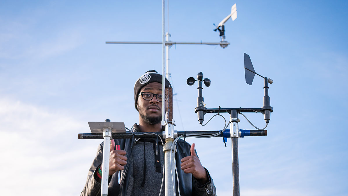
 Christina Varvis
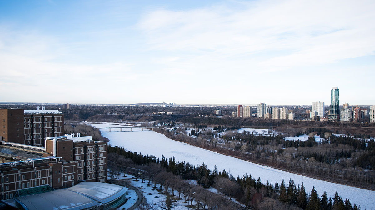
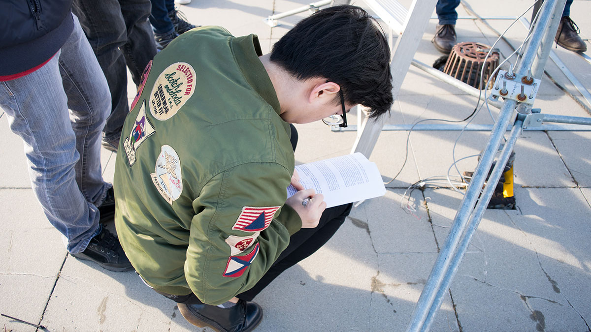
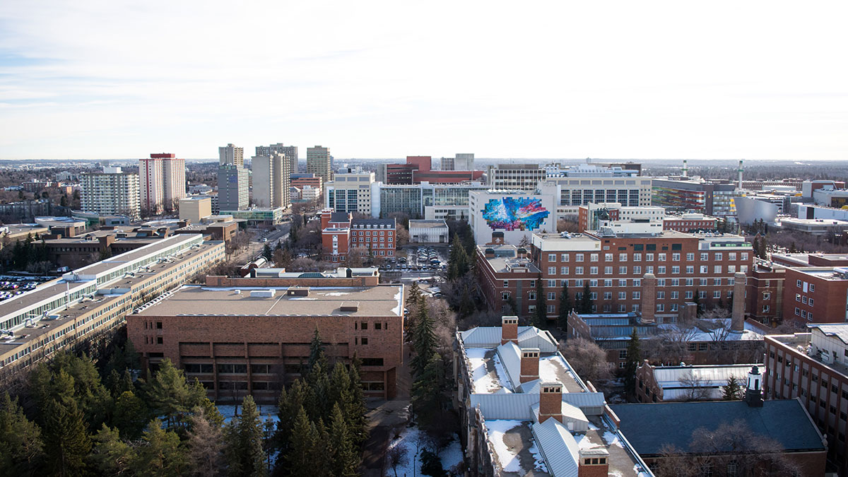
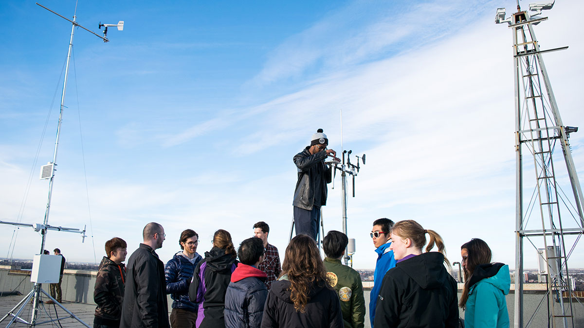
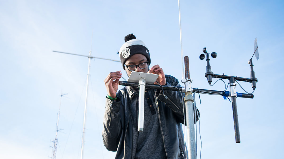
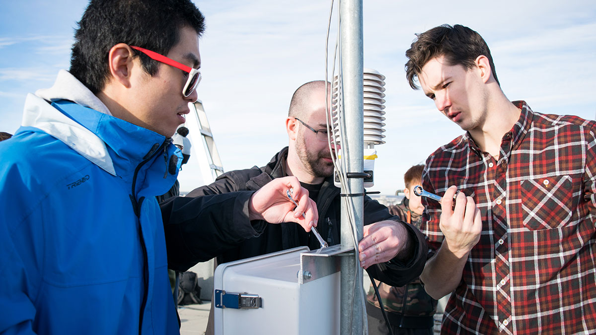
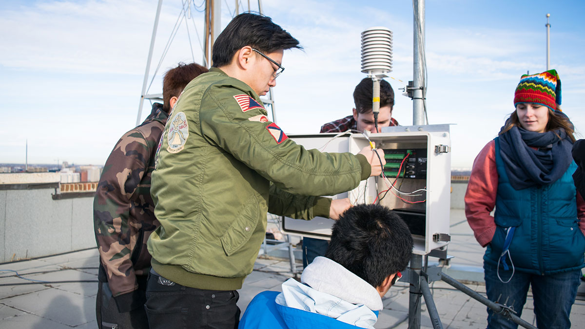
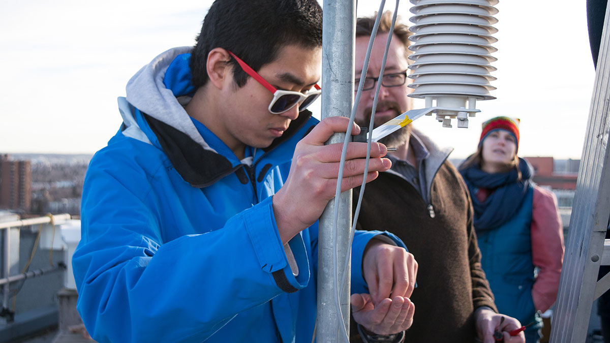
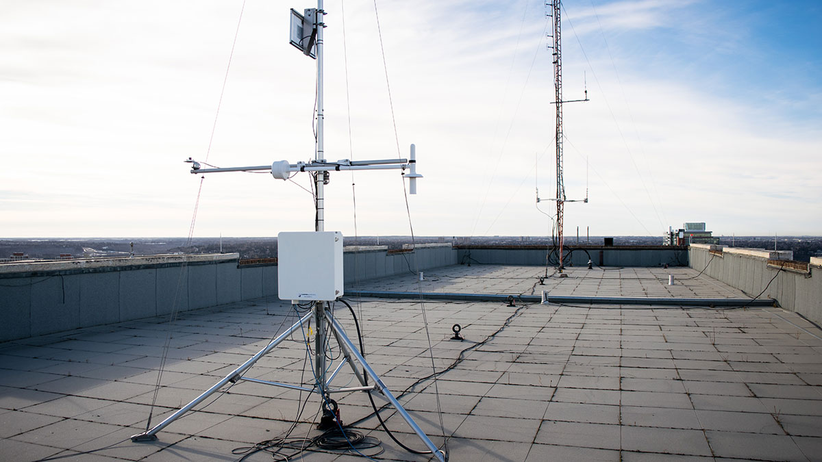
For most, the roof of the Tory Building isn’t an ideal setting to conduct a lab assignment, but for EAS 327, it’s exemplary.
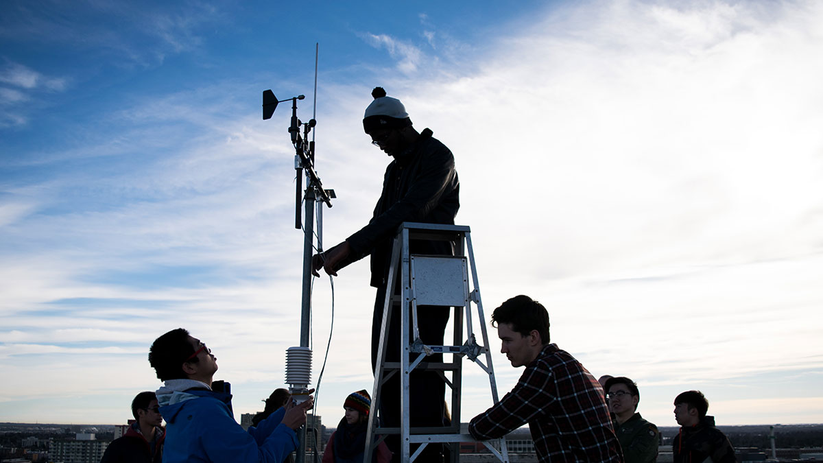
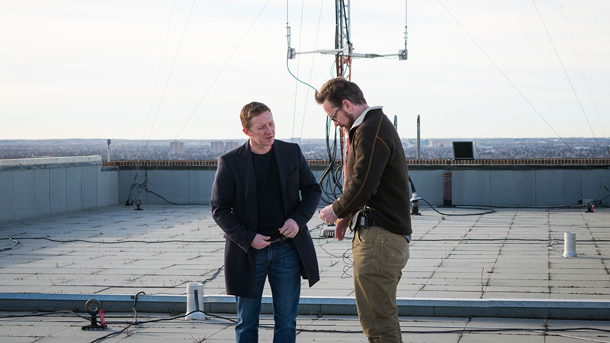
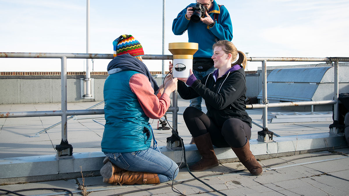
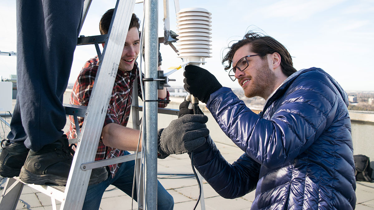
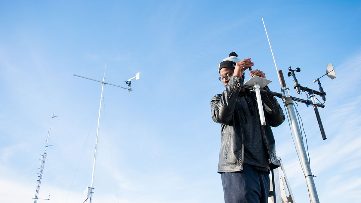
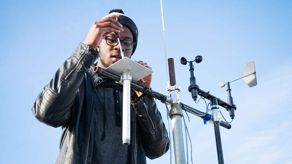
The Environmental Instrumentation class headed to the top of the Tory Building to build their own weather monitoring station. Temperature, wind speed, precipitation, and other meteorological data will be logged by the station, which was erected beside the existing Earth and Atmospheric Sciences Weather Station.
Data will be collected for several weeks, then and students will disassemble the station when they finish using it. Professor Jeffrey Kavanaugh said real-world applications were vital to the course material.
“I think (practical experience) is necessary,” Kavanaugh said. “This course is an environmental instrumentation course, and if you don’t get outside and measure the environment, there’s no point to it.”
Kavanaugh said past students have translated this experience into jobs in the environmental instrumentation field. He said students who have taken the class have gone on to work for instrumentation companies and doing climate research with weather balloons.
The practical applications of this lab are as fourth-year Science student Amanda Scoular said it was refreshing to have hands-on experience in addition to the usual theory.
“(The lab) is great, because the things you’re learning will actually go into the real world and apply to job skills,” Scoular said.
Kavanaugh said keeping those skills up-to-date for students was a priority for him in constructing the course material, and is looking to incorporate drone mapping into the course in coming years.
Using a remote-controlled drone equipped with a camera, drone mapping involves taking many pictures of an object from a variety of angles. Using a computer program, these images are combined to form a three-dimensional mode of an object or area
Kavanaugh said the Tory Building would be an ideal object to use the mapping technology on, but the number of people in and around it, getting permission for such a project is unlikely.
Legal releases are required to fly such drones in populated areas, and Kavanaugh said he thought getting these permissions for campus was very unlikely.
Despite this, Kavanaugh said he hoped to find a feature in the river valley away from away from walking trails to map in the future. The ways in which objects like buildings change over time, due to erosion and other geological processes, are difficult to measure using more traditional methods.
“It’s one of those things you can’t safely measure on two feet,” Kavanaugh said. “(Without the drone), you’d have to rappel off the building, and imagine the security clearances there.”