 J.W. Schnarr
Wildfire Analytics, the University of Alberta’s wildland fire research team, has developed a new tool that assesses directional vulnerability to wildfires in communities.
The tool looks at what drives fire across a landscape, according to PhD student Air Forbes. Forbes is using directional assessment in her PhD thesis. She has created the directional vulnerability assessment methodology for the tool’s analysis under the supervision of associate professor Jen Beverly.
“We’re only looking at one component: what drives fire across a landscape,” Forbes says
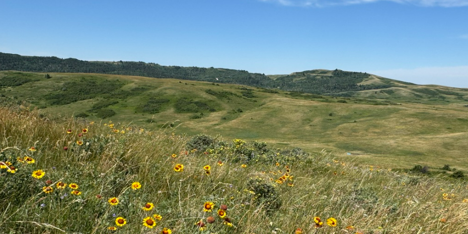
The tool was built off of two inputs of data from several communities. A fuel map, also known as a heat map, is the first input that shows what parts of a the landscape are most prone to fire. The second input is a binary layer, which is the result of doing an exposure assessment on the fuel map.
Exposure assessment shows what areas of a landscape are highly exposed and vulnerable to fire, Forbes explained. After some calculations, the tool identifies an exposed line that shows “how the fuel is connected across the landscape.”
The tool assesses data that only observes one characteristic, making it a univariant assessment according to Forbes.
“We consider it less of a risk assessment and more of a vulnerability assessment. It is a univariant assessment method, so we’re only looking at one component: what drives fire across a landscape.”
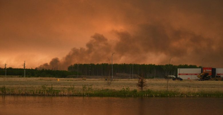
Rather than looking for the likelihood of a fire, the vulnerability assessment observes highly exposed areas across a landscape that are vulnerable to fires. If fuelled, these areas could result in a trail of fire that could make its way into communities.
After gathering fuel data, the next step is mapping the spacial arrangement of fire fuel such as vegetation. Forbes explained that this is done by unpairing fuel data from weather data. The two data sets are paired again after spacial mapping is completed to determine possible fire pathways.
“You can later pair [fuel data] with weather data that is not incorporated into our vulnerability assessment, to look at it as the weather is changing,” Forbes said.
Others can replicate the methodology for finding wildfire pathways, Forbes says
Forbes spoke about the limitations of the tool’s directional vulnerability assessment method. The tool uses a landscape scale which makes looking at specific areas in a community difficult.
“What we’ve done is for use at a landscape scale, so maybe you could look at a region. If you want to look at a finer scale, perhaps in the built environment directly surrounding a community, we’d want to use finer-scale fuel data. That’s some future work that is in progression at the moment.”
Although communities aren’t able to access the tool, they are able to read about its methodology in an open source paper, and possibly re-create the tool themselves.
“The tool does not exist as a standalone application. What does exist is an open source paper that outlines the methodology. Somebody with a basic understanding of wildland fuels and just simple [geographic data] processing steps would be able to reproduce what we’ve done,” Forbes said.
Forbes said that next steps include looking at a finer landscape scale. This will be done by using higher resolution fuel data and different methodologies.